This section addresses issues of particular significance from
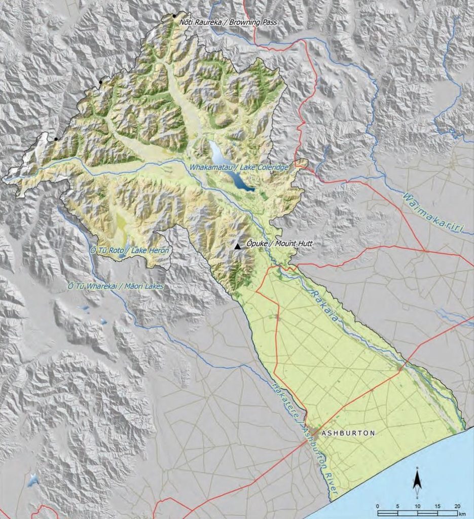
the Rakaia River to the Hakatere River (Map 24). The section covers all of the Rakaia catchment, and the land between the Rakaia and the Hakatere rivers. The Hakatere is the southern boundary of the takiwā covered by this IMP.
A Statutory Acknowledgement and Deed of Recognition
under the NTCSA 1998 formally acknowledge the
associations of Ngāi Tahu with the Hakatere, particularly
with regard to mahinga kai. The name of the river was
officially amended to a dual place name under the Act ,
serving as a tangible reminder of Ngāi Tahu history in
Te Waipounamu.
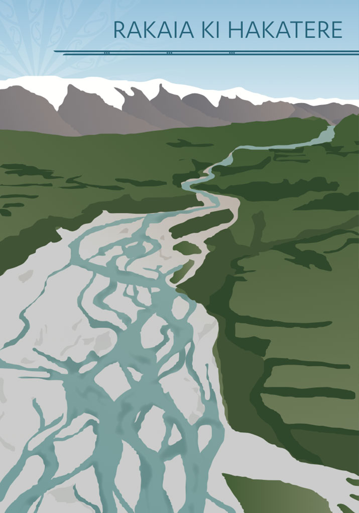
The Rakaia is one of the major braided rivers of the takiwā.
Throughout its course from the mountains to the sea, the
Rakaia exhibits a diversity of character, reflected in the
different landscapes through which the river flows. For
Ngāi Tahu, the variable character of the river is essential
to its cultural value, and is reflective of its life force.
The majority of the Rakaia River catchment is upstream
of the Rakaia Gorge, and therefore the protection of high
country values is an important kaupapa in this section.
Over-allocation of groundwater resources and contamination of both surface and groundwater are also significant issues, as the plains and coastal region between the Rakaia and Hakatere rivers is dominated by intensive land use.

